
Aerial Photography and Mapping
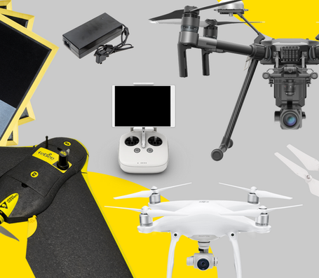
Aerial Photography and Mapping are when points are established on the ground, panel material is laid using coordinates and aerial photography crews or a drone fly over gathering the information.
Aerial Photography and Mapping is for those large, hard to reach jobs it can be a more cost effective way of gathering information about the topography of terrain.
Common Applications for Aerial Mapping Services
- 3D Modeling
- Airport Facilities Survey
- Engineering Applications
- Floodplain Evaluation
- Forestry Mapping
- Land Use Mapping and Planning
- Municipal GIS
- Terrain Analysis, DEM, DTM
- Transportation Planning
- Urban Planning
- Utilities
- Utilities Corridor Monitoring
- Viewshed Analysis
- Volumetric Studies
- Watershed Analysis