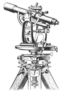
Boundary/Improvement Survey
A boundary/Improvement survey is a way to formally define the boundaries of a property. It is focused on defining the corners of a parcel of land. People generally commission boundary surveys before buying, dividing, improving, or building on land. After a boundary survey is complete, a land surveyor will create a drawing.
The drawing can include:
- Lot dimensions. The dimensions of a lot come from deed, subdivision plats, and survey drawings. They show the exact lines of the property.
- You can choose to have a boundary survey include any improvements made on the land by previous owners. Improvements could include houses, sheds, garages, pools, and other permanent changes to the property.
- Fences are usually used as ways to let people know where your property is. However, they are rarely built directly on the property lines. Though fences can be included in the drawing, they should not be taken as the outlines of the property.
- The land surveyor can include easements on the drawing if they have a copy of the title commitment.
We need your consent to load the translations
We use a third-party service to translate the website content that may collect data about your activity. Please review the details in the privacy policy and accept the service to view the translations.

